This guide is part of our series about geosearch.
Geosearch Background
- What is geosearch?
- Why is geosearch needed?
- What consumers expect from location search
- Technical challenges of location search
OpenCage Geosearch
Matching User Intent
When end users conduct searches, they expect accurate results. They're not concerned
with what occurs behind the scenes to make that happen; instead, they focus solely on
whether the search tool finds what they mean, even if it doesn't match what they type.
In addition to correcting data input errors, geosearch tools must also account for other
expectations that the user has around usability, accessibility and multilingual support
to provide accurate results.
Usability
The biggest differentiator between geosearch tools is where they
pull search results from. The accuracy of results depends almost
completely on the database used for location data.
Geosearch tools use several types of databases for the back end of the search capability.
Examples include:
- Postal services (e.g., Royal Mail, United States Postal Service)
- National mapping organizations (e.g., Ordnance Survey, Federal Agency for Cartography and Geodesy - Germany)
- Google Places, a web listing including data collected by Google and user-submitted information
- Other commercial map services (example: Mapbox, HERE)
- Open data sources (e.g., OpenStreetMap)
Accessibility
Accessibility is another major factor driving the need for tools like
geosearch. When including forms or other location searches on your site,
making them as easy as possible to complete also means that a larger
number of people will be able to use them.
For example, in England, 1 in 6 adults have poor literacy skills. And
in the U.S., 21 per cent of adults are either completely or functionally
illiterate, meaning they lack a level of literacy needed for work or
many day-to-day activities.
However, in the digital age, people falling in these categories likely still need to complete
online forms, purchases, navigation searches, and other location searches. Geosearch makes it
easier for them to do so in that even if they only know part of a search term or don't type
their search correctly, they can still search for the correct location and validate their input.
Multilingual Input and Output
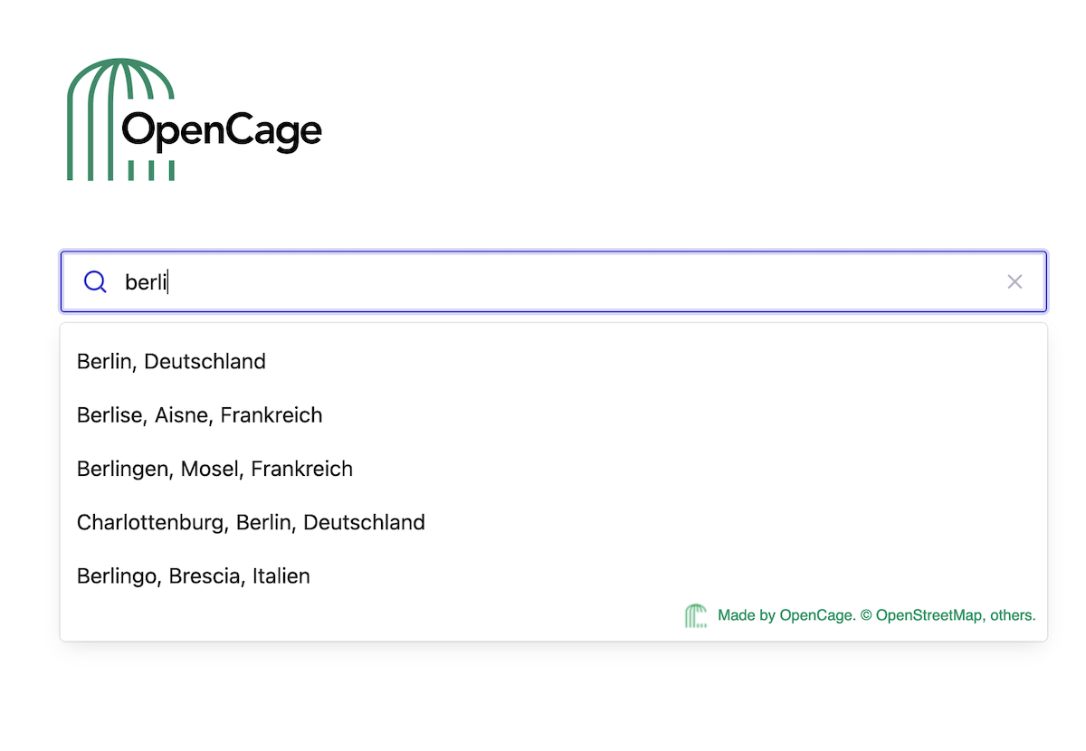
Geosearch must also match user expectations for language capabilities. For example, whether a
user searches for "Munich" or "München", they expect the same location to appear.
The database behind the geosearch tool has to include multilingual entries for locations so that
the search pulls correct results and displays them in the same language as the search.
When selecting a geosearch tool, consider one that will match language preferences to the user's
browser or app settings instead of requiring you to set specific languages for your form or application.
Address Formatting
A sophisticated database behind your geosearch tool will also be able to
show search results when the address formatting in the search is
"out of order."
For example, in Germany, an address is typically formatted as:
Recipient's name
Street name Building number
Postcode City
GERMANY
In the U.S., an address is typically formatted as:
Recipient's name
Street number Street name
City, State abbreviation, ZIP Code
USA
A geosearch tool should be able to pull accurate results even if the data is entered in an incorrect order, and the final result will be formatted correctly as part of the data validation step. See our guide to address formatting to learn more about this topic.
