This guide is part of our series about geosearch.
Geosearch Background
- What is geosearch?
- Why is geosearch needed?
- What consumers expect from location search
- Technical challenges of location search
OpenCage Geosearch
Choosing the Right Data Source
Location data sources usually fall into one of two categories regarding restrictions:
open data and closed data. Each type has its benefits and limitations.
Open data can be used in any application whenever you need it, including
for commercial purposes. Open sources also allow you to correct the data.
However, you won't be the only one making corrections. While there's a
large community of users continuously improving the data for everyone's
benefit, the input of others can sometimes harm the data's integrity.
When dealing with closed data (proprietary), the data may be of even
higher quality since providers often have teams dedicated to updating,
validating and correcting it. In exchange for this quality, you will
likely have to agree to strict terms of use, limited
insight into how the data is updated and a higher price tag.
Regardless of which type of data sources you consider, look for
information from the provider regarding the freshness of their data.
The world is always changing, and the data you use should keep up.
Design and User Interface
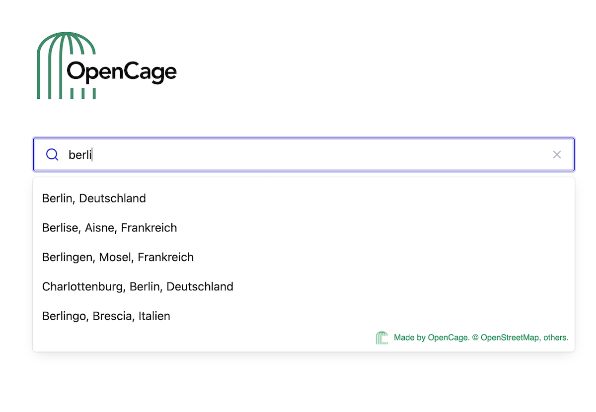
Implementing a great-looking autosuggest search capability isn't
necessarily challenging. The challenge is in setting it up on your website
or mobile app in a way that functions just as well as it looks.
One of the biggest considerations should be whether the search capability
will function on desktop, mobile or both. Mobile searches tend to have
different objectives and a higher level of urgency than desktop searches.
For example, while desktop searches are more likely
to focus on research, mobile searches often occur at a point of action.
If the geosearch capability is at a purchase point or part of a navigation
app, focus just as much effort on the ease of use of its mobile
functionality as desktop.
Another factor to account for is the length of visible text in
geosearch results. This is especially important if the geosearch capability
needs to pull results globally or from a location where addresses are
typically longer. Otherwise, geosearch results are not as helpful if there
are several addresses that begin with the same words or numbers.
Finally, consider selecting a tool that can work with accessibility
functions such as voice-to-text capabilities so that your website or app
is useful to a larger audience and won't frustrate users who require
these features.
Bias in Mobile and Web Searches
Whether a user is on their desktop or a mobile app, they can benefit
from searches that return results with a bias toward their current location.
For example, web use cases such as job applicant sites or doctor
registration portals can use browser geolocation to narrow geosearch
results to locations near a job site's city or doctor's office. Without
doing so, the geosearch tool could return many irrelevant results.
Similarly, geosearch that's part of a mobile app can use the app's
location permissions along with the user's stored address to return
suggestions. This would be helpful for user registrations such as for a
hotel or Airbnb that requires a permanent address to secure
the reservation.
Accounting for Technical Issues
When providing results, a geosearch tool should account for:
- Too many results (e.g., the user starts the search with "Main St"): limit results such as by prioritizing more common selections and limiting the number of suggestions.
- Typos and misspellings: recognize and correct commonly mistyped words.
- Abbreviations: correlate abbreviated search terms with the complete entries in the database.
- Determine location relevancy: account for the purpose of the search when showing results. For example, if the search is for an address on a retail checkout page, results should only include relevant residential or business addresses, not those for landmarks.
Privacy and Data Protection
The European Union's General Data Protection Regulation (GDPR) sets strict
directives regulating how companies around the world can collect, use,
and store personal data from EU citizens. As other countries and states
develop similar legislation (such as The California Consumer Privacy Act),
it's vital that organizations adhere to personal data protection laws - or
risk paying a significant fine.
If your organization uses a third-party geosearch tool to collect data
from consumers, then you become responsible for handling that data
correctly.
Build vs. Buy
If you have a large in-house development team, you might consider
building a geosearch tool instead of buying access to one. There are a few
factors to consider before making that decision.
Cost
Pricing usually depends on usage, or how many searches are completed
in a set period. Paying for a tool typically includes maintenance, updates
and support but with lower costs if the provider has a large customer base.
Building the tool yourself means that you pay for the design, testing,
new developments and maintenance, and support is an internal responsibility
as well.
Deployment Time
Buying a geosearch tool will let you get started much more quickly than
developing one in-house. In addition, there will likely be training
opportunities as well to get your team up and running.
Control
With a purchased solution, you must follow the terms and conditions of
the vendor. However, when you build a tool, you're free to use it however
you see fit as long as you follow government regulations like GDPR.
Changing Requirements
Third-party geosearch tool providers can update terms of use requirements
at any time, so it's critical to have a clear understanding of what is
allowed and how changes will impact your business.
Like with any services that you implement on your site, consider the
provider's business model, terms and customer service reputation. Those
factors are just as important as functionality in determining if a
geosearch tool will be a good fit for your business.