This guide is part of our series about geosearch.
Geosearch Background
- What is geosearch?
- Why is geosearch needed?
- What consumers expect from location search
- Technical challenges of location search
OpenCage Geosearch
Why is Geosearch Necessary?
Using a search box sounds simple: the user thinks of a word or phrase,
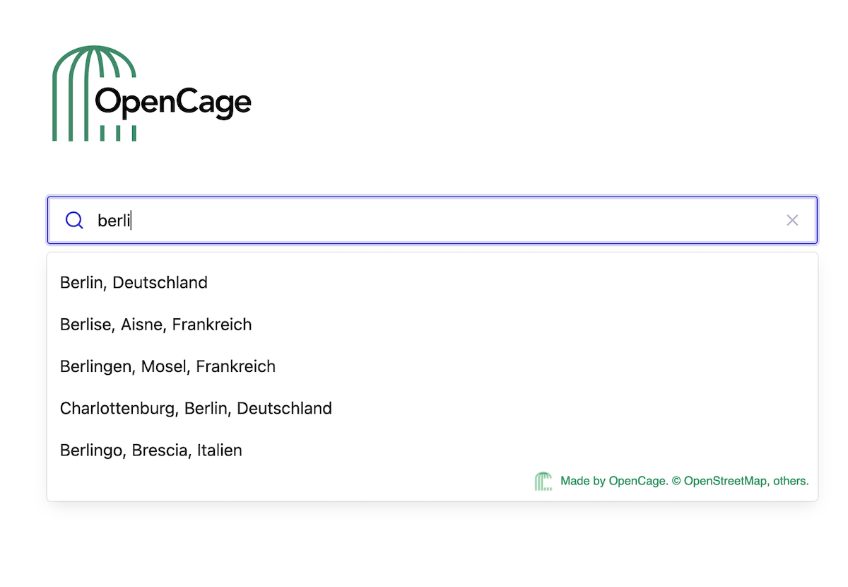
types it
in the search box and the result appears. But searches are often made more
complicated by the unique ways users input search terms.
When it comes to finding a location, rarely do people use the full location names
or addresses in their search. Instead, users are more likely to input search terms with:
Abbreviations:
they might use "CA", which could stand for California, Canada or another location.
Geographic context:
users often conduct searches for "x near y" (e.g., a store's locations near a
certain city) or "x near me" (e.g., pizza places near their home).
Unofficial, incomplete or incorrect place names:
users might input a location's nickname instead of the official name (e.g.,
NYC instead of New York, New York) or they might write a location name phonetically.
Autosuggest technology paired with the right database can quickly complete
searches with the above characteristics with no visual interruption to the
user's search. Without geosearch, the user might be met with a frustrating,
"0 results found".
Benefiting Consumers and Businesses
Hospitality, retail, navigation systems and other industries have embraced
geosearch tools on their customer-facing websites and applications.
Customers are growing accustomed to the aid of autocomplete or predictive
search when they reach certain data entry fields, such as a form
requesting their address.
Geosearch helps the consumer have a better user experience. It requires less
time for the user to enter their data, removing friction in their buyer
experience and lessening the chance that they'll get frustrated and abandon
their purchase.
In addition to making data entry quicker, geosearch also ensures that the
data provided by the user is entered correctly. This is especially
beneficial for retail sites where incorrect data input can be a costly
mistake.
Consumers leave nearly 70 per cent of online shopping carts abandoned, and
poor user experience is often cited as the reason why. When businesses can
offer quick checkout processes that ensure the user's data is correct, they
increase the likelihood of completed checkouts on their site.
Integrating Geosearch with a Map
Those familiar with consumer map applications or who shop online have likely
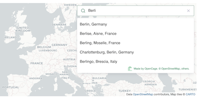
encountered geosearch. For example, using geosearch on a national retailer's
website could look like this:
Integrating geosearch with a consumer map adds a visual element that
confirms the location for the user, and it also helps them visualize
the selected item in relation to other options in the map's coverage area.
- The user sees a map that includes all of the retailer's locations.
- They begin typing their search, such as for locations in a certain city.
- Autosuggest shows a list of relevant answers based on their input.
- The user selects the best answer.
- The map zeros in on the selected location.
The Right Tool for the Job
Context is key to any search. Geosearch can draw connections within a user's
search to pull the results closest to what they intended. Users with only
partial data are still able to find what they're looking for, making
geosearch a powerful tool for location searches - where accuracy is
especially important.
That said, geosearch is used as a component of larger solutions, and
it's often used with other geolocation tools such as geocoding or
browser geolocation. Each tool performs a different function, but they're
all needed to find the right answer for the user and give them a
positive experience within an application or site.
2,500 geocoding API requests/day - No credit card required

