You can use the OpenCage Geocoding API inside Microsoft Excel to convert a list of coordinates to placenames (reverse geocoding) or placenames/addresses to coordinates (forward geocoding).
Please note
- Our Excel plugin is designed as a way to quickly test our service or to do a small (< 1,000 requests) volume of geocoding. It is not designed for high volume production use.
- If your spreadsheet geocoding needs are more complex, in your account dashboard you can upload a spreadsheet which we will geocode row by row for you.
- This plugin is unlikely to work on older versions Windows and Excel, as we - like most other internet services - no longer support HTTPS requests made using unsafe TLS protocols.
Let's start
- Sign up for an OpenCage Geocoding API key, or if you already have one log in.
- Are you sure you don't want to just use our spreadsheet uploading service?
- Download and install the OpenCage Excel Add-in.
-
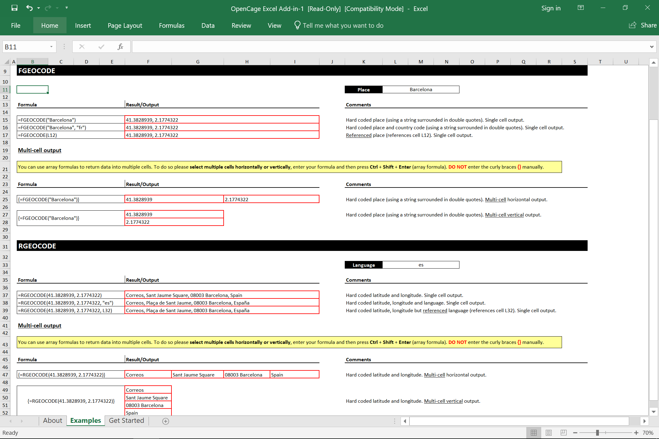
Once installed the add-in enables to new formulas
=RGEOCODEfor reverse geocoding, and=FGEOCODEfor forward geocoding notice that the parameters are slightly different for the two functions.
-
Within the Add-in you'll find detailed examples in the "Examples" sheet

-
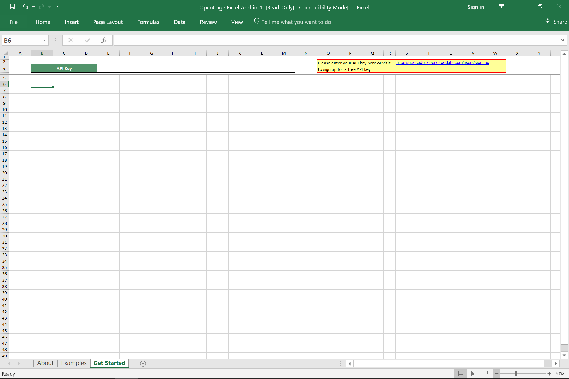
Before either command will work you will need to enter your
OpenCage Geocoding API key in the "Get Started" sheet.

2,500 geocoding API requests/day - No credit card required